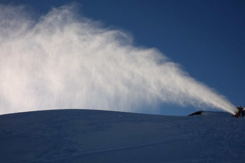
We have another cold morning here on Thursday. We have slight inversions, but most temperatures are still in the 20s as of 6 AM from the top to bottom. The snowmaking crews are continuing to make as much snow as possible before the milder air moves in by the weekend and into next week.
Week 1:
Thursday will be chilly with highs in the 40s for the lower elevations and 30s on the peaks. Then milder air flows in as storms start to slam the Pacific NW. Highs warming into the 50s for highs for the lower elevations by the weekend and into next week, and 40s up high.
By the middle of next week, high pressure is directly overhead and fairly strong. That should bring us the mildest days. We may also see inversions at night, but it shouldn’t matter much, as even at the base of the mountain, it may stay near to above freezing through the week.
It will feel more like early fall with mostly sunny days and mild temperatures. Hopefully, with the low sun angles, not much of the snow being made this week will melt.
Week 2:
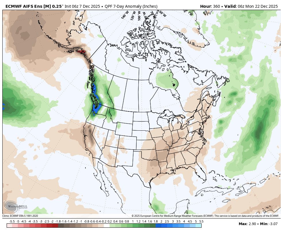
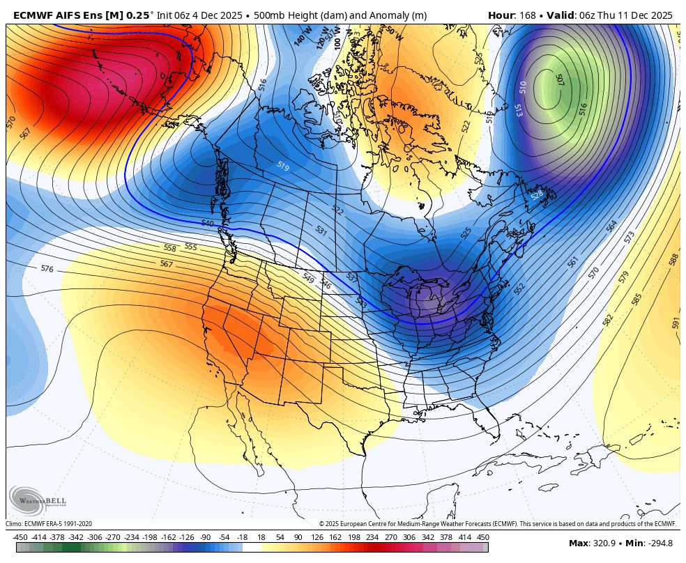
The long-range models have been hinting at a pattern change near mid-month all week, around the 13th – 15th of December. But they have been waffling, and any trough they try to put near the West Coast has looked pretty shallow. So confidence in any change or storms has been very low.
Over the past 24 hours, the ensemble mean models have been shifting a bit towards a deeper trough near the West Coast between the 13th – 16th, and the models are in decent agreement. Now, this has only been for 24 hours, and we saw them do something similar a week ago for this upcoming weekend, and now the storm track will stay to our north, so we are treading lightly.
They show the weakening of the high-pressure block over Greenland and the low-pressure trough over the eastern U.S. shifting off the coast. That unblocks the pattern, and the ridge over the West shifts east as well. Meanwhile, a strong ridge forms up over the Bering Sea, and a trough digs off the West Coast.
For now, the trend is towards the storm door opening for a few days for Northern CA. We have been seeing the models show some increasing chances of precipitation for this time period all week, but have been hesitant to believe them with everything going on in the atmosphere and how wrong they have been beyond a week for the last month.
We have seen snowfall in the forecast beyond 10 days for a few weeks, and it never leaves that range. It is starting to emerge into the 6-10 window today, so let’s hope that trend continues. Looking at the forecast temperatures, we could see a cooldown starting around Friday, the 12th, and continuing into the long-range if this pattern change occurs.
Wouldn’t it be nice to get natural snow and be able to make snow at the same time around mid-month? I’ll be watching all of the atmospheric signals and model trends closely over the next week.
BA